Analysis of Temperature Distribution in 30m Grids to Identify Heatwave Hotspots
Improving Accuracy Using Mobile Observation Vehicles and Drones
On June 30, the Gwangju Regional Meteorological Administration and the Gwangju Climate and Energy Agency announced that they will begin developing an "Integrated Heatwave Vulnerability Information Service" to support the establishment of heatwave response policies. The purpose of this project is to conduct a precise analysis of the current state of heatwaves in the region and to strengthen the climate response system.
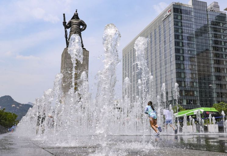 On the 19th, when the daytime temperature in Seoul reached 34 degrees, children were cooling off by playing in the ground fountain at Gwanghwamun Square in Jongno-gu, Seoul. Photo by Yonhap News
This service will use satellite imagery and artificial intelligence (AI) techniques to provide temperature distribution information in 30-meter grid units and to create detailed heat maps that reflect surface characteristics. Since heat distribution varies within urban areas depending on land cover types such as buildings, roads, and green spaces, the heat maps will make it possible to specifically identify areas where heatwaves are concentrated.
The Gwangju Regional Meteorological Administration will conduct a detailed analysis in July and August by linking with the AI-based heatwave prediction system operated by the Gwangju Climate and Energy Agency, utilizing mobile weather observation vehicles and thermal imaging drones. Through this, they will systematically observe heatwave concentration areas and the flow of heat, thereby improving research accuracy.
Director Ham Dongju stated, "It is projected that by the latter half of the 21st century, the number of heatwave days in Gwangju will increase by at least 33 days and up to 97 days compared to the present," and added, "We will make every effort to minimize heatwave damage by taking proactive measures focused on vulnerable areas."
© The Asia Business Daily(www.asiae.co.kr). All rights reserved.
![Clutching a Stolen Dior Bag, Saying "I Hate Being Poor but Real"... The Grotesque Con of a "Human Knockoff" [Slate]](https://cwcontent.asiae.co.kr/asiaresize/183/2026021902243444107_1771435474.jpg)


