Providing Directions, Course Information, and Exercise Records
Gyeonggi-do Icheon City has introduced an application (app) that provides various information to users of the local Dulle-gil trails.
On the 3rd, Icheon City announced that it has launched a 'smart tourism platform' service that combines smart technology and tourism to enable tourists and Icheon residents to use the Dulle-gil trails safely and easily.
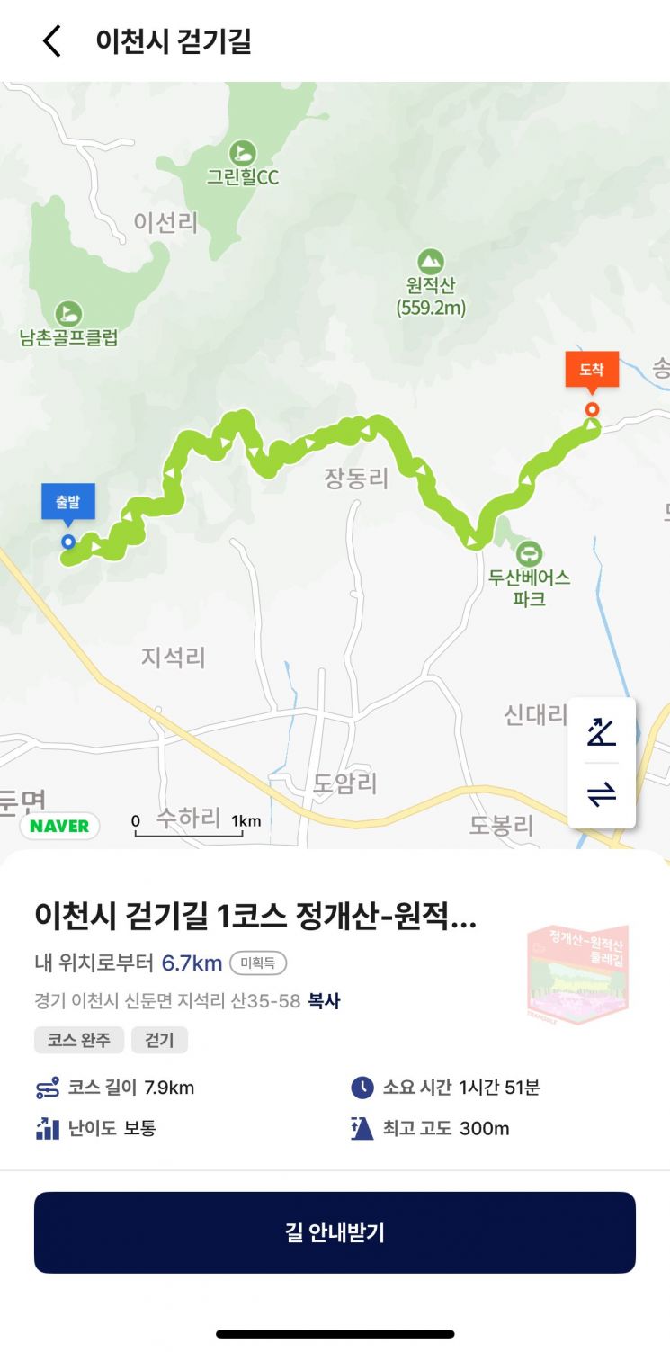
To promote walking trails, the city conducted on-site measurements and collected segment coordinate data for all 18 Dulle-gil trails established within the area. After linking the data with GPS-based information, 23 courses were registered on the 'Tranggle' app.
On the 'Tranggle' app, users can access services such as ▲real-time route guidance ▲Dulle-gil safety environment ▲course comparison and suggestions, themed courses, course books ▲activity data including steps and exercise records.
To use the service, search for 'Icheon-si' in the 'Recommended Course Book' section of the Tranggle app and add 'Icheon-si Walking Trails' to your favorites. Purchasing the walking trail course book is free of charge.
Meanwhile, the city plans to promote various projects in the first half of the year to activate smart tourism. Based on trekking big data, it will discover regional linked themed content combining Dulle-gil trails and tourist resources, and develop storytelling and experiential content reflecting the city's history and culture.
Kim Kyung-hee, Mayor of Icheon City, said, "We will do our best to develop storytelling-based experiential tourism products and demand-tailored tourism content in line with the experience-centered tourism trend."
© The Asia Business Daily(www.asiae.co.kr). All rights reserved.
![Clutching a Stolen Dior Bag, Saying "I Hate Being Poor but Real"... The Grotesque Con of a "Human Knockoff" [Slate]](https://cwcontent.asiae.co.kr/asiaresize/183/2026021902243444107_1771435474.jpg)


