Best Institution in Land Readjustment
Selected as Excellent Institution in Land Administration
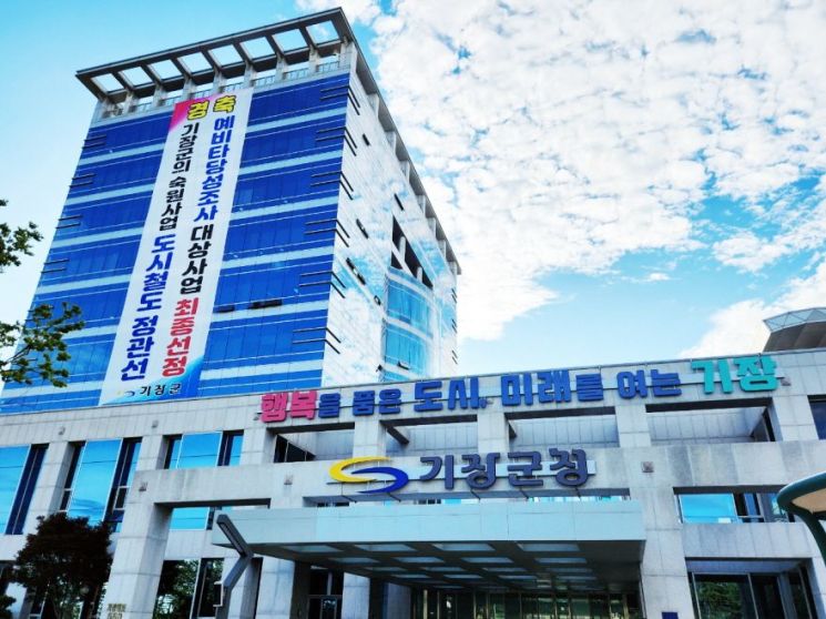
Busan Gijang-gun achieved a remarkable feat by being recognized for its outstanding work capabilities in the ‘2023 District and County Land Administration Comprehensive Evaluation’ hosted by Busan City last November, being selected as the best institution and excellent institution in two categories.
This evaluation was conducted by Busan City last November targeting 16 districts and counties, aiming to realize smart land administration centered on residents' daily lives by sharing excellent land policies and initiatives through an assessment of the overall land administration work promotion by each district and county throughout the year.
As a result of evaluating three categories (Cadastral Resurvey, Land Administration, Road Name Address), Gijang-gun achieved the highest score among the 16 districts and counties by being selected as the best institution in the cadastral resurvey category and an excellent institution in the land administration category.
In particular, in the ‘Cadastral Resurvey’ category, it was selected as the best institution by receiving high evaluations for ▲early completion of surveys in the 2022 cadastral resurvey project districts (Ilgwang Icheon 3 District and Yongsu District) ▲project promotion ▲special policies ▲and various project implementations.
Also, in the ‘Land Administration’ category, it was selected as an excellent institution by actively promoting fair and objective individual official land price assessments and administrative support using drones.
County Governor Jeong Jong-bok said, “Through this evaluation, our county’s outstanding land administration capabilities have been externally recognized,” adding, “Since the county occupies a large area equivalent to one-third of the city’s jurisdiction and various development projects are actively underway, we will further strengthen land administration capabilities combined with digital technology to contribute to efficient land management and protection of residents’ property rights.”
The cadastral resurvey project is a national project that corrects the registration details in the cadastral register that do not match the actual land use status, resolves boundary disputes caused by cadastral discrepancies, and enhances the land utilization value according to citizens’ exercise of property rights.
Since starting with the Ilgwang Icheon district in 2013, the county has completed cadastral resurvey projects for a total of eight districts (2,075 parcels, 477,641.5㎡). Currently, it is promoting the Jukseong 1 District in Gijang-eup and Myeongrye 1 and 2 Districts in Jangan-eup (369 parcels, 123,770㎡), and in 2024, it plans to promote the cadastral resurvey project for Jukseong 2 District in Gijang-eup (277 parcels, 60,179.9㎡).
© The Asia Business Daily(www.asiae.co.kr). All rights reserved.
![Clutching a Stolen Dior Bag, Saying "I Hate Being Poor but Real"... The Grotesque Con of a "Human Knockoff" [Slate]](https://cwcontent.asiae.co.kr/asiaresize/183/2026021902243444107_1771435474.jpg)


