City Selected for National Project by Ministry of Land...
11.4 Billion Won to Be Invested
Supporting Carbon Neutrality and Urban Development Decision-Making
through Digital Twin Integration
Starting next year, a high-precision electronic map with centimeter-level accuracy will be developed throughout the entire city of Gwangmyeong, Gyeonggi Province.
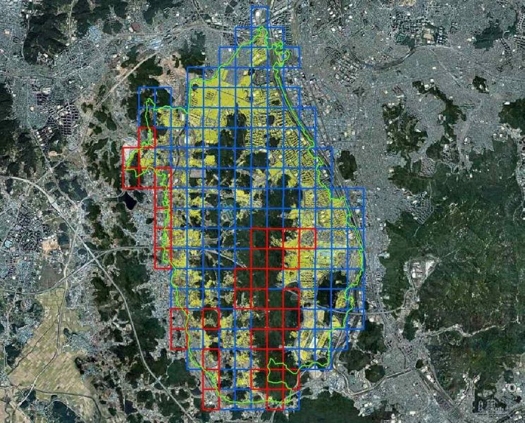 Gwangmyeong City will begin building a high-precision electronic map covering the entire city starting next year. The digital national land platform established at the beginning of the year shows the Gwangmyeong City area. Provided by Gwangmyeong City
On the 28th, the Gwangmyeong City government announced that it had been selected for the "2026 High-Precision Electronic Map Development Challenge Project" hosted by the National Geographic Information Institute under the Ministry of Land, Infrastructure and Transport.
With this selection, the city has secured 570 million won in national funding. By adding its own budget, the city will invest a total of 1.14 billion won to build high-precision electronic maps and three-dimensional spatial information data covering the entire city area of 38.5 square kilometers starting next year.
The "high-precision electronic map" to be developed is a three-dimensional map data set that digitizes the physical elements of roads and urban spaces with centimeter-level precision. This will enable real-time precise location recognition and simulation, and serve as core infrastructure for various location-based services (LBS) and spatial information application technologies.
As about 42% of the total area of Gwangmyeong is rapidly changing due to the Gwangmyeong Siheung New Town development, as well as redevelopment and reconstruction projects, the city plans to utilize the latest techniques such as aerial photography and radar, along with advanced equipment, to build high-precision spatial information across the entire city.
The city plans to link this with the "Digital Land Platform" established earlier this year, and use it for policy decision-making in the fields of carbon neutrality and urban development. For carbon neutrality, it can be used for building energy management, selection of buildings for green remodeling, and analysis of suitable sites for solar power installation. In the field of urban development, it is expected to support the establishment of changing urban plans through landscape simulation and provision of spatial data.
Park Seungwon, Mayor of Gwangmyeong, said, "The development of high-precision electronic maps will become a key foundation for systematically managing the city in a rapidly changing urban environment," adding, "We expect it will contribute not only to carbon neutrality and urban development, but also to the establishment of future-oriented urban infrastructure such as autonomous driving and smart mobility."
© The Asia Business Daily(www.asiae.co.kr). All rights reserved.
![Clutching a Stolen Dior Bag, Saying "I Hate Being Poor but Real"... The Grotesque Con of a "Human Knockoff" [Slate]](https://cwcontent.asiae.co.kr/asiaresize/183/2026021902243444107_1771435474.jpg)


