Suwon City in Gyeonggi Province will digitize the location information of public guide facilities?such as boundary markers, trail signposts, and 112 emergency posts?installed in the areas of Gwanggyosan and Chilbosan, and provide this data to both public institutions and private map platforms.
Until now, Suwon City has managed information on small guide facilities using paper records or document files. However, this has resulted in low accessibility and usability of the information, and a lack of location information sharing between fire and police departments has caused difficulties in emergency response.
Accordingly, by December, the city plans to use GNSS (Global Navigation Satellite System), a spatial information collection method that utilizes satellites to precisely measure ground locations, to determine the locations of guide facilities with an accuracy of approximately 1 centimeter. The measured location information will be computerized and used for efficient maintenance, management, and new installations based on electronic maps.
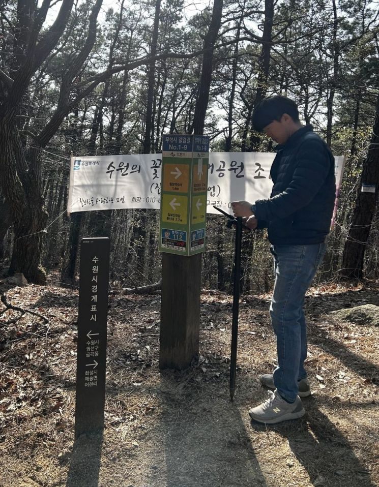 Suwon City will precisely measure and digitize the location information of guide facilities on Gwanggyosan and Chilbosan. Photo by Suwon City
Additionally, the digital data based on electronic maps will be made available on public data portals as well as private map platforms such as Naver and Kakao.
A Suwon City official stated, "This will establish a foundation for emergency rescue and disaster safety response, enabling both citizens and the administration to utilize spatial information together," adding, "We will realize citizen-centered safety administration based on accurate and highly accessible spatial information."
© The Asia Business Daily(www.asiae.co.kr). All rights reserved.


