Maximum Wind Speeds of Around 55 km/h Expected
Along the Southern Coast of Jeonnam
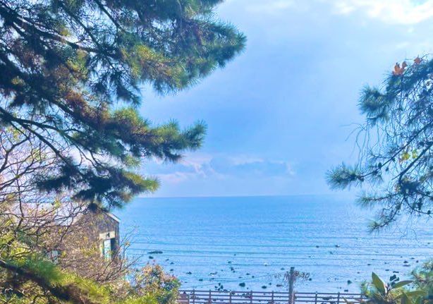 On the 26th, Gwangju and Jeonnam are expected to be mostly clear, gradually becoming cloudy from the afternoon. Photo by Song Bohyun
On the 26th, Gwangju and Jeonnam will be mostly clear, but clouds will gradually increase in the afternoon.
Gwangju and Jeonnam will be affected by a high-pressure system moving eastward from northern China on this day.
Morning lows are expected to be: Gokseong -4°C, Hwasun and Gurye -3°C, Jangseong, Damyang, Yeonggwang, Hampyeong, Muan, Naju, Yeongam, and Jangheung -2°C, Boseong, Haenam, and Jindo -1°C, Gwangju, Mokpo, Goheung, and Suncheon 0°C, Shinan and Gwangyang 1°C, and Wando 2°C.
Daytime highs will be: Gurye, Suncheon, Gwangyang, Gangjin, Wando, Jangheung, Boseong, and Goheung 9°C; Gwangju, Hampyeong, Shinan, Naju, Hwasun, Jangseong, Damyang, Gokseong, Yeosu, and Yeongam 8°C; and Yeonggwang, Muan, Mokpo, and Jindo 7°C, which is lower than the previous day.
Wave heights will be 0.5 to 1.5 meters in the West Sea and 1 to 2 meters in the South Sea. Fine and ultrafine dust levels will be at 'normal' levels.
An official from the Gwangju Regional Meteorological Administration said, "There will be places along the southern coast of Jeonnam where winds may reach around 55 km/h (15 m/s), so please pay attention to facility management and safety accidents."
© The Asia Business Daily(www.asiae.co.kr). All rights reserved.
![Clutching a Stolen Dior Bag, Saying "I Hate Being Poor but Real"... The Grotesque Con of a "Human Knockoff" [Slate]](https://cwcontent.asiae.co.kr/asiaresize/183/2026021902243444107_1771435474.jpg)


