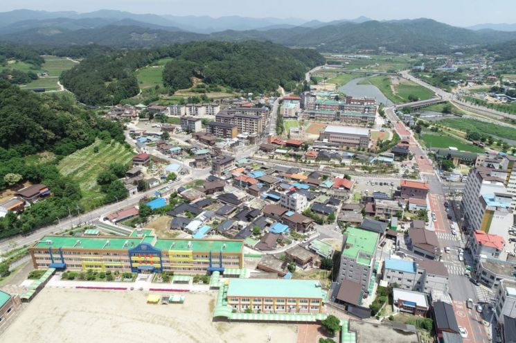
[Asia Economy Yeongnam Reporting Headquarters Reporter Kim Gwiyeol] Yecheon-gun, Gyeongbuk recently completed the cadastral readjustment project for Baekjeon 1 District and Wangsin 3 District in Yecheon-eup and created new cadastral records.
The cadastral readjustment project is a national initiative to correct cadastral discrepancies where the actual status of the land does not match the cadastral records, and to convert paper cadastral maps created during the Japanese colonial period into digital cadastral maps.
The county established an implementation plan in February 2020 and designated the project districts after obtaining consent from landowners. After conducting cadastral readjustment surveys, collecting landowners' opinions, holding boundary determination committee reviews, and going through objection procedures, new land boundaries were confirmed for a total of 256 parcels, including 231 parcels in Baekjeon 1 District and 25 parcels in Wangsin 3 District, and cadastral records such as land registers and cadastral maps were created.
This cadastral readjustment project is expected to resolve boundary disputes, facilitate land regularization and the elimination of blind spots, thereby increasing the land use value.
As a follow-up task, the county will request registration orders from the relevant registry office and conduct appraisals for lands with area increases or decreases to notify the landowners.
A Yecheon-gun official said, “We thank the residents who cooperated to ensure the smooth completion of the cadastral readjustment project and will continue the project to support the exercise of property rights by the residents.”
© The Asia Business Daily(www.asiae.co.kr). All rights reserved.
![User Who Sold Erroneously Deposited Bitcoins to Repay Debt and Fund Entertainment... What Did the Supreme Court Decide in 2021? [Legal Issue Check]](https://cwcontent.asiae.co.kr/asiaresize/183/2026020910431234020_1770601391.png)


