Optimized for Mobile, 'S-Map' Provides Real-Time Traffic, Real Estate & Lifestyle Info
New 'VR Walking Tour' for Virtual Experience of Seoul Cultural Attractions Added
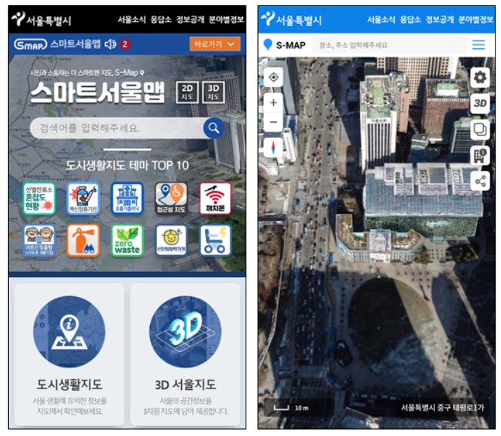
[Asia Economy Reporter Lim Cheol-young] The Seoul Metropolitan Government will launch a mobile version of the digital twin 3D map “S-Map,” which replicates the entire city of Seoul in a virtual space, starting on the 27th.
From now on, optimized for mobile devices, users will be able to instantly check ▲real-time traffic conditions across Seoul (traffic CCTV) ▲living information (incidents and accidents) ▲real estate information (official land price viewing, sunlight rights, etc.) ▲environmental information (monthly and hourly wind paths, etc.).
With the launch of the mobile version, Seoul will also introduce new features such as “VR Walking Tour,” “4D Cultural Heritage Service,” and “Alley Street View.” “VR Walking Tour” is a service that allows users to virtually experience Seoul’s representative cultural landmarks, Changdeokgung Palace and Bukchon Hanok Village. Characters modeled after William and Bentley, the “Wilbengers” brothers popularized by KBS’s “Superman Returns,” guide and narrate the main courses. With cute characters and friendly voice dubbing, the explanations are easy to understand, making it highly useful as educational content for children.
“4D Cultural Heritage Service” allows users to experience cultural heritage sites that are currently lost and cannot be seen in reality in 4D. When users turn on “S-Map” at sites where cultural heritage once existed, such as Sajikdan Altar near Gwanghwamun, Jaesil (resting quarters) of Gyeongbokgung Palace, and the gatehouse of Geonchunmun Gate at Gyeongbokgung Palace, they can appreciate 3D reconstructions of these cultural assets. The first phase will complete services for Gwanghwamun and Gyeongbokgung by December this year. The second phase will build and provide services for Deoksugung Palace, Jeongdong, Sungnyemun Gate, Seoul History, Hwangudan Altar, Seodaemun area, and others next year.
“Alley Street View” is a service that allows users to view about 14,000 alley street views, including narrow alleys, terraced roads, and traditional market streets throughout Seoul. Through the New Deal job project, alleys that were not provided by private portals were discovered. The service will first start in Jungnang-gu, Seoul. Seoul plans to build alley street views for about 10 autonomous districts in the Gangbuk area and provide the service starting in December. The remaining districts will also be provided with alley street views during next year.
Seoul expects that by providing complex alley information in advance through street views, it will not only improve pedestrian accessibility but also contribute to revitalizing the local economy.
Meanwhile, Seoul plans to open “S-Map” to citizens and companies, establishing an Open Lab environment to allow the private sector to utilize 3D map information, scheduled to open in December. It plans to create a virtual experimental space environment where students and companies needing research and experimental space in 3D can test new technologies and innovative models within the S-Map environment.
Seoul is also promoting a pilot project for the AR (Augmented Reality) service “Smart Realistic Zone,” which allows users to experience the virtual world through “S-Map.” With the rapid rise of the MZ generation, who have a strong desire for new experiences in digital spaces, and the development of virtual convergence technologies, extended reality (XR) metaverse combining virtual reality (VR) and augmented reality (AR) is gaining attention. Seoul plans to apply these new technologies in the public sector.
Park Jong-su, Director of Smart City Policy at Seoul City, said, “We will provide the currently computer-only service S-Map in a mobile version so that more citizens can easily use it. We will expand the opening of S-Map data to the private sector to lay the foundation for startup companies to develop new technologies and support the creation of various added values, contributing to the development of related industries.”
© The Asia Business Daily(www.asiae.co.kr). All rights reserved.


