Cold Wave Advisory Issued for Most Regions Nationwide
Cold Wave Warning for Parts of Chungbuk, Chungnam, Gyeonggi, and Jeonbuk
Highest Temperatures on the 16th Afternoon 10~18°C, Up to 10°C Lower Than the Previous Day
Sharp Temperature Drop and Strong Winds Cause Feels-Like Temperature to Plummet Below Freezing
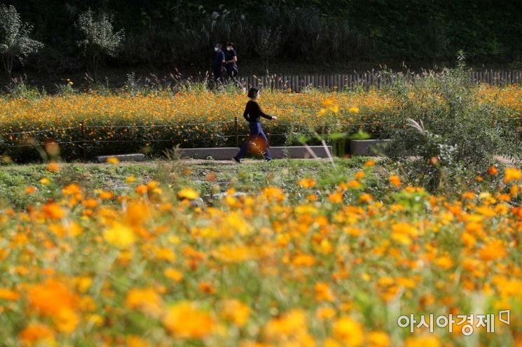 On the 14th, with clear autumn weather, yellow cosmos flowers are in full bloom near the Yangjaecheon waterfront stage in Seocho-gu, Seoul. Photo by Mun Ho-nam munonam@
[Asia Economy Reporter Han Jinju] Cold wave warnings have been issued for most regions nationwide. On the morning of the 17th, temperatures will drop below 0 degrees Celsius in the central inland areas, eastern Jeonbuk, and some inland areas of Gyeongsang.
On the 16th, the Korea Meteorological Administration issued a cold wave warning effective from 9 PM. Cold wave warnings are issued for Chungbuk (Jeungpyeong, Eumseong, Yeongdong, Goesan, Boeun), Chungnam (Hongseong, Nonsan), Gyeonggi (Gwangju, Yongin), and Jeonbuk (Muju, Jinan, Jangsu). Cold wave advisories will be in effect from 9 PM for all of Seoul, Sejong, Daegu, Gwangju, Daejeon, Incheon, Gangwon-do, Gyeonggi-do, and parts of Jeonnam, Chungbuk, and Jeonbuk.
A cold wave warning is issued when the temperature drops more than 15 degrees compared to the previous day to 3 degrees or below, or when it is 3 degrees lower than the average value, or when the morning minimum temperature is expected to remain below minus 15 degrees Celsius for two or more days. A cold wave advisory is issued when the morning minimum temperature remains below minus 12 degrees Celsius for two or more days or when a rapid temperature drop is expected to cause significant damage.
On Saturday the 16th, rain will fall until 3 PM in the southern coastal areas of Gyeongbuk, the Gyeongnam region, and Jeju Island. The daytime high temperature will be between 10 and 18 degrees Celsius, about 4 to 10 degrees lower than the previous day (18 to 27 degrees).
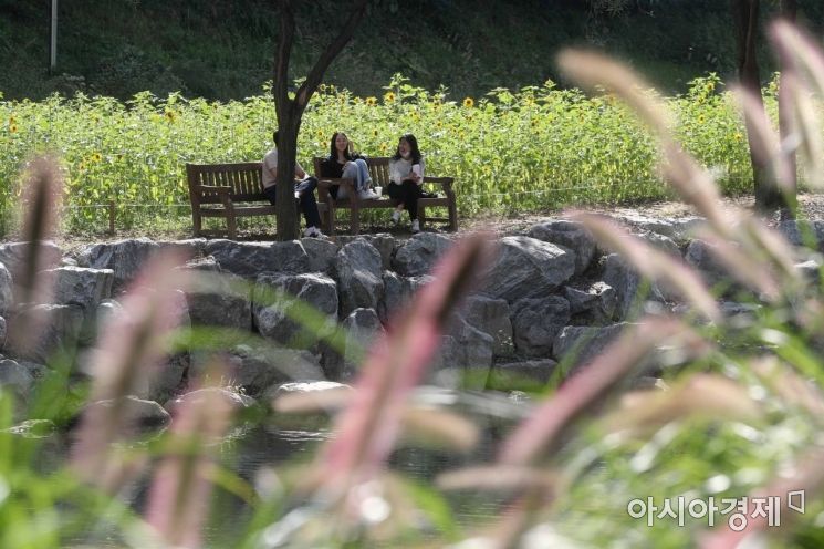 On the 14th, when the weather was fully autumnal, citizens were resting at Yangjaecheon in Seocho-gu, Seoul. / Photo by Moon Honam munonam@
On Sunday the 17th, the morning minimum temperature will fall below 3 degrees Celsius in most regions nationwide. Strong winds will also blow, making the perceived temperature even lower.
The Korea Meteorological Administration explained, "Due to the rapid temperature change, people should take care of their health, especially those working outdoors at screening clinics, the elderly, and others vulnerable to immune system decline. Frost will form in the central inland and mountainous areas, and ice may form tomorrow, so care should be taken to protect crops from cold damage."
The morning minimum temperature on the 17th is forecast to be between -3 and 7 degrees Celsius, and the daytime high between 10 and 16 degrees. On the 18th, the morning minimum temperature is expected to be between -1 and 9 degrees, with a daytime high of 13 to 20 degrees.
Strong winds will blow mainly along the west coast, south coast, and Jeju Island until the 17th, so caution is needed to prevent damage. The west coast and Jeju Island will experience very strong winds with speeds of 10 to 16 meters per second and gusts exceeding 20 meters per second. The south coast and southern coastal areas of Gyeongbuk will have gusts exceeding 15 meters per second, and other regions will also experience strong winds of 10 to 15 meters per second.
The Korea Meteorological Administration urged, "Due to strong winds, damage to outdoor screening clinics, construction sites, and vinyl greenhouses is a concern, so thorough inspection and management of facilities are required. Secondary damage caused by flying objects and signboards is also a concern, so pedestrians and traffic safety should be given special attention."
© The Asia Business Daily(www.asiae.co.kr). All rights reserved.


