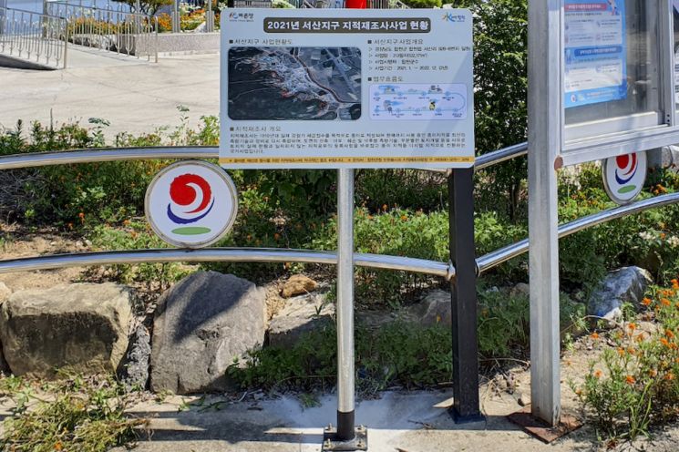
Easily Check Project Overview, Current Status Map, and Workflow Diagram of the Business District
[Asia Economy Yeongnam Reporting Headquarters Reporter Choi Soon-kyung] Hapcheon-gun, Gyeongnam announced on the 5th that it installed guide signs in six project districts, including the Deokam district of Hapcheon-gun, a 2021 project district, to widely inform residents about the effects of the cadastral resurvey project and to encourage active participation of residents in the project districts.
The cadastral resurvey project is a national project aimed at correcting the registration details in the cadastral register that do not match the actual situation, resolving land boundary disputes, increasing land utilization, efficiently managing the national territory, and protecting citizens' property rights. Through these cadastral resurvey guide signs, it is easy to check the overall project status of the project districts, including an overview, current status map, and workflow diagram.
Kim Yoon-gon, Head of the Civil Service Department, stated, “Through the cadastral resurvey guide signs, we can visually guide the boundaries and target lands of the project districts, thereby increasing residents' awareness of the project.”
© The Asia Business Daily(www.asiae.co.kr). All rights reserved.


