Virtual Seoul Identical to Reality Implemented... Integration of Administrative and Environmental Information
Terrain Across Seoul and 600,000 Buildings Represented... Public Buildings and Subway Station Interior Information Included
[Asia Economy Reporter Jo In-kyung] The Seoul Metropolitan Government announced on the 30th that it has built and is providing a service called 'S-MAP (Smart Seoul Map),' a 'digital version of Seoul' that replicates the virtual Seoul in a 3D virtual space combined with administrative and environmental information of Seoul.
According to the city, S-MAP allows citizens to check frequently sought administrative information such as official land prices and real-time traffic information from CCTV with just a click. It also shows changes in building sunlight exposure over time, seasonal changes in wind direction, and allows users to view the distribution of citizen-reported complaint sites and citizen participation budget projects at a glance.
The city plans to further evolve S-MAP into an infrastructure for diagnosing urban problems and finding solutions through various experiments and simulations when establishing urban plans. For example, when constructing new buildings or roads, the changes can first be tested in the virtual Seoul to analyze how these changes affect wind flow, sunlight rights, and views, which can then be used as a basis for policy-making.
The terrain of the entire Seoul area, as well as approximately 600,000 facilities, have been vividly implemented in 3D. Public buildings and Seoul subway stations, which could not be seen in existing 3D maps, are now revealed internally for the first time. Users can also see Seoul’s changes compared to past photos and major landmarks captured by drones.
The 3D Seoul map was created through a joint collaboration between the Seoul Metropolitan Government and Naver Labs, using '3D map automatic production technology' that analyzes 25,000 aerial photographs of the entire Seoul area with artificial intelligence (AI).
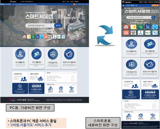
A new 'Citizen Voice Map' has been added to the 2D map, showing the distribution of on-site complaints and the status of Seoul citizen participation budget projects by region. The existing 'Urban Life Map,' which collects thematic maps such as the status of COVID-19, continues to be provided as well.
The city plans to continuously enhance S-MAP until 2022 to implement functions that allow various simulations to solve urban problems in a virtual city environment and expand citizen-participatory map services using virtual Seoul.
Additionally, the city plans to open additional Open APIs so that various smart city services can be created using S-MAP, and operate an Open Lab where external experts can conduct various experiments to solve urban problems.
Lee Won-mok, Director of Smart City Policy at the Seoul Metropolitan Government, said, "The diverse data integrated and provided through S-MAP will not only improve citizens' access to information but also greatly assist in establishing policies to enhance convenience of life throughout Seoul. We expect S-MAP to develop into a digital twin that vividly represents the living city, becoming the foundation of the smart Seoul services promoted by the city and a leading example of future smart cities."
© The Asia Business Daily(www.asiae.co.kr). All rights reserved.
![Clutching a Stolen Dior Bag, Saying "I Hate Being Poor but Real"... The Grotesque Con of a "Human Knockoff" [Slate]](https://cwcontent.asiae.co.kr/asiaresize/183/2026021902243444107_1771435474.jpg)


