Agreement Signed with LX Korea Land and Geospatial Informatix Corporation
Enhancing Precision from Public Asset Management to Disaster Safety through Geospatial Information
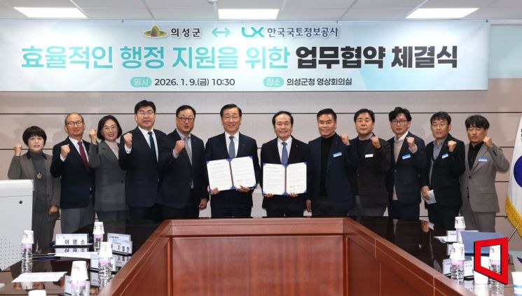
On January 9, Uiseong County signed a "Memorandum of Understanding (MOU) for Efficient Administrative Support" with LX Korea Land and Geospatial Informatix Corporation in the video conference room on the second floor of the county office’s main building. The two parties agreed to cooperate in advancing smart administration by utilizing data and geospatial information.
The purpose of this agreement is to enhance the efficiency of administrative operations while significantly strengthening public safety for county residents. Both organizations plan to expand the use of geospatial information across all aspects of administration, including the management of public assets, the advancement of land use information systems, and the strengthening of disaster response capabilities.
Under the agreement, the following initiatives will be promoted: ▲Collaboration on the use and analysis of public assets for systematic management and efficient utilization ▲Advancement of land use information systems through the maintenance and quality control of cadastral and thematic maps ▲Support for the establishment of a Uiseong-style smart disaster safety management platform.
In particular, the focus of the cooperation is on combining geospatial information with administrative data to establish a rapid and accurate response system in the event of disasters.
To ensure the practical implementation of the agreement, the two organizations will form a working-level consultative body as needed and will monitor and adjust the progress of each detailed task. They are determined to move beyond a declarative agreement and achieve tangible results through on-site application and performance outcomes.
Kim Jusu, Mayor of Uiseong County, stated, "This agreement serves as an opportunity to enhance transparency in public asset management and increase trust in land use information. It also marks an important turning point in strengthening public safety through a smart disaster safety management system. Together with President Eom Myungso and LX Korea Land and Geospatial Informatix Corporation, we will work closely to ensure the successful implementation of the agreement’s initiatives."
Uiseong County plans to use this agreement as a stepping stone to actively incorporate geospatial information into all areas of administration, building a smart administrative model centered on the keywords 'accuracy, speed, and safety.' In the mid- to long-term, the county aims to strengthen regional competitiveness and improve administrative services that residents can truly experience.
© The Asia Business Daily(www.asiae.co.kr). All rights reserved.


