Building Infrastructure for Public Convenience and Spatial Information Utilization
"Expected to Contribute to the Growth of Future Industries such as Autonomous Driving"
Naver is joining forces with the National Geographic Information Institute to drive innovation in the spatial information industry. While Google is requesting the overseas transfer of high-precision domestic map data, Naver plans to get ahead by integrating its proprietary technology with national infrastructure to contribute to public convenience.
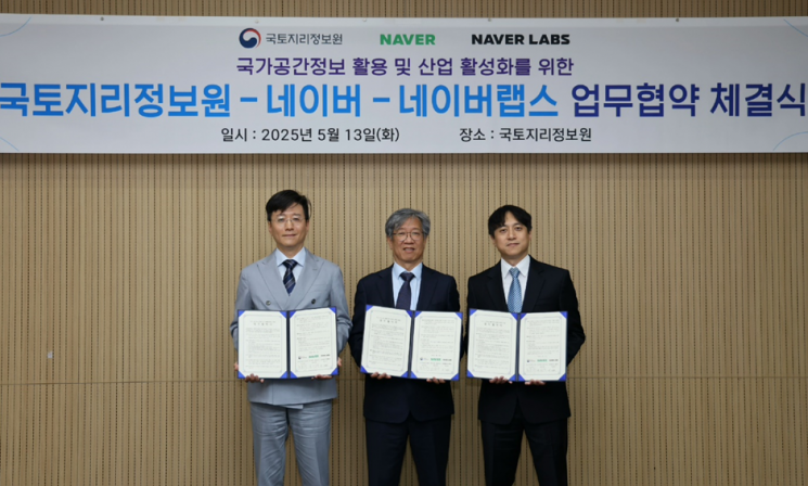 (From left) Seungrak Choi, Vice President of Naver; Wooseok Jo, Director of the National Geographic Information Institute; Donghwan Lee, Vice President of Naver Labs, are posing for a commemorative photo after signing a business agreement on the 13th. Provided by Naver
Naver announced on the 14th that it had signed a memorandum of understanding (MOU) with the National Geographic Information Institute on the 13th to promote the use of national spatial information and revitalize the spatial information industry. Through this agreement, the two parties will work on advancing spatial information-based technologies and developing lifestyle-focused services to enhance public convenience.
The goal of this agreement is to innovate spatial information services and build a sustainable industrial ecosystem by combining the spatial information held by the National Geographic Information Institute, the digital twin technology of Naver Labs, and the platform capabilities of Naver Map. To achieve this, the three parties will form a spatial information council and jointly pursue various projects to build and promote the use of high-precision spatial information.
In this context, Google is requesting the overseas transfer of 1:5000 scale high-precision map data from the National Geographic Information Institute, citing reasons such as improving map services and promoting the tourism industry. Against this backdrop, Naver is moving forward with a public-private innovation project in partnership with the National Geographic Information Institute to enhance user convenience.
Going forward, the parties plan to actively expand the foundation for public-private cooperation in the spatial information sector to build and vitalize a sustainable industrial ecosystem. They will establish infrastructure to enable public institutions, research institutes, startups, and other stakeholders to utilize spatial information more effectively, and will also provide support for research and development (R&D) and the dissemination of technology.
This initiative is also expected to contribute to the growth of key future industries such as smart cities, O2O (online to offline), autonomous driving, digital twins, augmented reality, and virtual reality.
Wooseok Jo, Director of the National Geographic Information Institute, stated, "High-precision map data is a core infrastructure for future innovative industries, and through cooperation with Naver, we will advance domestic map-building technologies to a world-class level." He added, "We expect this collaboration to serve as a catalyst for the overall advancement of the domestic spatial information industry, as private sector investment and efforts?such as updating location and place information and discovering new linked services?take the industry to the next level."
Suyoun Choi, CEO of Naver, said, "We will strive to ensure that Naver's map platform and spatial intelligence technologies lead to even more innovative services," and added, "We will do our best to ensure that the technologies we have steadily researched and accumulated contribute to improving user convenience and enhancing industrial competitiveness."
© The Asia Business Daily(www.asiae.co.kr). All rights reserved.


