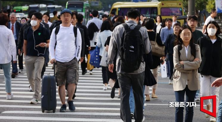
 On the 22nd of last month, commuters on their way to work were dressed in long-sleeved clothing on Gwanghwamun Street in Jongno, Seoul. Photo by Jo Yongjun jun21@
On the morning of the 4th, the first working day after the holiday, chilly weather is expected.
Morning temperatures are expected to drop to around 10 degrees Celsius, especially in the central inland, eastern Jeonbuk, and inland Gyeongbuk regions, making it feel chilly.
The morning low temperatures are expected to range from 10 to 18 degrees Celsius, and the daytime highs from 21 to 26 degrees Celsius.
Expected low and high temperatures in major cities are: Seoul 15°C and 23°C, Incheon 16°C and 22°C, Daejeon 12°C and 24°C, Gwangju 14°C and 24°C, Daegu 13°C and 24°C, Ulsan 15°C and 25°C, and Busan 18°C and 26°C.
On the night of the 4th, cold air will descend from the northwest, causing temperatures to drop further on the 5th.
The morning low and daytime high temperatures on the 5th are expected to be 6 to 16 degrees Celsius and 18 to 22 degrees Celsius, respectively. In particular, the high mountains of northern Gyeonggi and inland Gangwon will have morning temperatures around 5 degrees Celsius, and the Gangwon mountain areas will be around 0 degrees Celsius, which may cause frost and ice formation.
Strong winds are also expected.
From the afternoon of the 4th, strong winds with instantaneous gusts exceeding 55 km/h (15 m/s) will blow along the west coast, Gangwon mountain areas, and Jeju. Especially from the night of the 4th to the early morning of the 5th, Jeju and some coastal areas will experience such strong winds that a strong wind advisory will be issued.
Precipitation is also expected.
From the afternoon of the 4th, the central region will be affected by a pressure trough passing north of Korea, bringing rain. The Seoul metropolitan area, western Gangwon, Chungcheong, and Jeonbuk will experience rain at times from the afternoon to night on the 4th. Light rain droplets will fall in the northwestern inland of Gyeongbuk at night.
Visibility may decrease during rain, and gusts, thunder, and lightning may occur.
Swells will continue to flow into the southern coast and Jeju coast, causing high waves that may wash over rocky shores or breakwaters.
From the 4th, strong winds blowing at 35 to 60 km/h (10 to 16 m/s) and waves 2 to 4 meters high will occur in the West Sea offshore and the central East Sea offshore, and from the 5th, similar conditions will affect the remaining seas.
© The Asia Business Daily(www.asiae.co.kr). All rights reserved.


