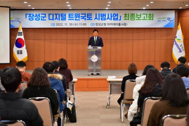
[Jangseong=Asia Economy Honam Reporting Headquarters, Reporter Jo Hangyu] Jangseong-gun, Jeollanam-do recently held the final briefing session for the Digital Twin Land pilot project at the 4th floor Academy Hall of the county office.
According to the county on the 6th, Digital Twin Land is a technology that uses spatial information indicating locations to create terrain and objects identical to real ones in a computer virtual space and conduct various simulations.
After being selected for the Ministry of Land, Infrastructure and Transport's public contest last year, the county secured a project budget of 1.4 billion KRW including national funds, and completed the pilot project over nine months from February to last month.
The Jangseong-gun Digital Twin Land project consists of ‘Administrative Utilization Model Development’ and ‘3D-based Data Construction,’ which can be used in various administrative tasks.
At this final briefing session, after a technical demonstration of the administrative utilization model, there was a time to listen to opinions from related public officials, and the demonstration was conducted by the project implementing company, LT Metric Co., Ltd.
The administrative utilization model developed by the county covers five areas: ▲Building Color Design System ▲Garden Creation Simulation System ▲Parking Guidance Service ▲Slate Replacement Support Service ▲Field Survey and Management System.
Using the Building Color Design System, users can freely design urban landscapes by applying various colors to buildings in a virtual space that is implemented identically to the actual Jangseong-gun.
The Garden Creation Simulation System is also used to create various gardens in the virtual space to find suitable models that harmonize with the surrounding landscape.
The Parking Guidance Service informs users of available parking spots within the Jangseong area by linking with the navigation app T-Map.
The Slate Replacement Support Service helps systematically manage the locations and related information of buildings with slate materials remaining in the area by displaying them in the virtual space.
The Field Survey and Management System inputs information about facilities into the virtual space, which can later be used to check the timing of repairs, maintenance, and safety of the facilities.
The county plans to enhance the system's completeness by reflecting various opinions presented at the final briefing session.
County Governor Kim Hanjong said, “If the successfully implemented county system through this Digital Twin Land pilot project spreads to local governments nationwide, it is expected that all citizens will enjoy better administrative services.”
Jangseong=Asia Economy Honam Reporting Headquarters, Reporter Jo Hangyu baekok@asiae.co.kr
© The Asia Business Daily(www.asiae.co.kr). All rights reserved.


