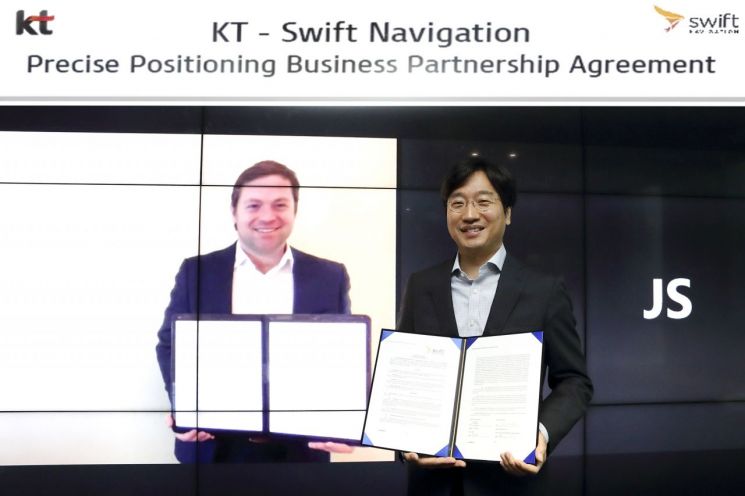
 At the KT Songpa Building located in Songpa-gu, Seoul, Choi Kang-rim, Executive Director of KT AI Mobility Division (right), is taking a commemorative photo after signing a business contract remotely with Timothy Harris, CEO of Swift Navigation (on screen).
[Asia Economy Reporter Lim Hye-sun] KT is taking a full-scale step into the ultra-precise positioning business by partnering with a global leading tech company.
Global Location Service Market Growing 23% Annually
On the 29th, KT announced that it has signed a technology and business cooperation agreement with Swift Navigation, a Silicon Valley-based company in the United States. Ultra-precise positioning service reduces the error of several to tens of meters (m) occurring in location services provided through existing GPS, etc., to centimeter (cm) level, providing accurate information.
Swift Navigation possesses platforms and solutions that can correct positioning errors and calculate accurate locations in the ultra-precise positioning domain. KT will be able to provide ultra-precise positioning services in various mobility areas by linking its nationwide coverage-based reference stations (equipment that generates reference information to correct satellite signal errors) with these solutions.
Since last year, KT has formed an in-house task force (TF) team to collaborate with Swift Navigation and has been preparing for technology verification and commercial service development both domestically and in the United States.
As services related to moving objects such as autonomous driving, robots, and drones have rapidly grown recently from the existing smartphone and navigation-centered market, the demand for accurate location information has steadily increased. The global location-based service market is expected to maintain an annual growth rate of 23%, expanding to about $126 billion by 2025, and the domestic market is also projected to reach approximately 2.7 trillion KRW by the same year.
Implementation of Centimeter-Level Precise Location Information Service
The most widely used satellite-based location information service currently uses only satellite signals in each service terminal’s module, so it cannot correct signal refraction and radio interference occurring during signal transmission, resulting in large errors from the actual location. Also, existing ultra-precise location information services were not provided with nationwide coverage, imposing many restrictions on mobility services where accurate and safe service is essential.
To solve these problems, KT installed its own reference stations nationwide, including Jeju Island, for the first time in Korea, and completed the construction of a nationwide ultra-precise positioning specialized network. KT’s reference stations repeatedly observe satellite signals and analyze real-time satellite orbit and atmospheric (ionosphere, troposphere, etc.) errors, then generate correction information by applying error modeling at its own correction servers. Using the correction information generated by KT’s reference stations and correction servers, it is possible to provide precise location information by combining GNSS signals received from multiple satellites such as those from the US, Europe, Russia, and China, as well as 5G and LTE signals.
Applications in Autonomous Vehicles, Unmanned Agricultural Machinery, Heavy Equipment, Drones, etc.
The ultra-precise positioning information provided by KT can be applied to autonomous vehicles, heavy equipment, unmanned agricultural machinery, urban air mobility (UAM), drones, and even smartphones. In autonomous driving, where stable driving and accident prediction/prevention are top priorities, various sensors such as LiDAR and cameras are currently used for accurate location information. Applying KT’s ultra-precise location information service to autonomous driving can derive centimeter-level accurate location coordinates even when these sensors are unstable, ensuring autonomous driving safety while reducing the number of sensors and costs, thereby promoting commercialization.
Furthermore, in the next-generation intelligent transportation system (C-ITS) field, it can contribute to expanding the national social safety net by enhancing road safety nationwide through autonomous cooperative driving functions that exchange accurate locations and events between vehicles and infrastructure or between vehicles, and by supporting emergency rescue. KT plans to expand location information services covering both business-to-business (B2B) and business-to-consumer (B2C) transactions in logistics areas such as delivery and transportation, as well as in autonomous driving and C-ITS domains.
Meanwhile, KT has been developing a connected car business encompassing telecommunications, software, and content since 2004. Since then, it has expanded its business areas to include transportation DX fields such as local government C-ITS projects in Jeju and Ulsan, as well as digital logistics.
© The Asia Business Daily(www.asiae.co.kr). All rights reserved.


