Annual Aerial Photography Since 1973
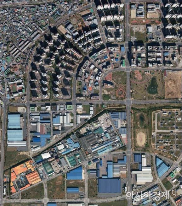
[Asia Economy Yeongnam Reporting Headquarters Reporter Choi Jae-ho] Daegu City announced on the 18th that it provides approximately 132,000 aerial photographs taken annually since 1973 to public institutions, academic organizations, and citizens to enable multifaceted use of spatial information and secure historical urban data.
While aerial and satellite photos available on the internet have limited viewing ranges, Daegu City explained that since its aerial photos have been accumulated since 1973, it is easy to understand the city's transformation process.
Due to their clear resolution, the photos can be usefully applied for academic research, court evidence in various disputes, compensation related to urban development projects, and capital gains tax-related data.
Aerial photos are historical materials that allow a comprehensive view of Daegu City's transformation history, but currently, more than 90% of users are public institutions. Those wishing to view the photos can apply by visiting the Land Information Division at Daegu City Hall in person.
A Daegu City official stated, "We plan to continuously update the aerial photos annually to provide spatial information to citizens quickly and accurately," encouraging extensive use.
© The Asia Business Daily(www.asiae.co.kr). All rights reserved.
![Clutching a Stolen Dior Bag, Saying "I Hate Being Poor but Real"... The Grotesque Con of a "Human Knockoff" [Slate]](https://cwcontent.asiae.co.kr/asiaresize/183/2026021902243444107_1771435474.jpg)


