260 Billion KRW National Budget from 2012 to 2030
±3cm Accuracy Digital Cadastre, Foundation Infrastructure for 4th Industrial Revolution
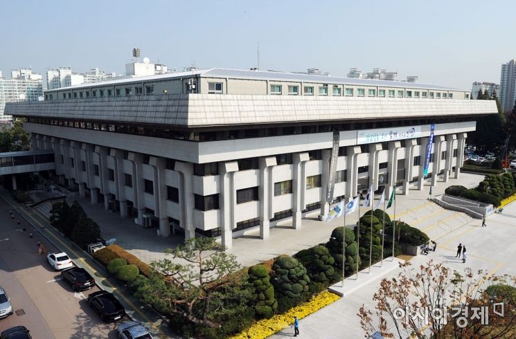
[Asia Economy Reporter Park Hyesook] Incheon City is accelerating efforts to convert the Japanese Tokyo-based paper cadastral maps, created during the colonial period for the purpose of land expropriation, into world-standard digital cadastral maps for the first time in over 100 years.
The city announced on the 28th that it is promoting a cadastral re-survey project with a national budget of 26 billion KRW to be spent by 2030.
Cadastral information records land details such as location, shape, lot number, and boundaries, and is often called the "resident registration of land." During the Japanese colonial period, Korea adopted the Tokyo-based surveying system, which was suited to Japan but not to Korea’s terrain, and has been using it ever since.
The current cadastral maps are based on the original paper maps created during the Japanese land survey project (1910?1924). However, due to damage and distortion, these maps do not match the actual land use, causing boundary disputes between adjacent landowners, restricting property rights, and leading to administrative inefficiencies.
To resolve these issues and eliminate remnants of Japanese colonial rule, the city has been promoting the cadastral re-survey project since 2012. As of last year, it has completed the project for 60 districts and 18,801 land parcels. This year, with a secured national budget of 840 million KRW, the project targets 15 districts and 3,313 land parcels.
Recently, through the deliberation of the Cadastral Re-survey Committee, the city designated the Unbuk 2 District in Jung-gu, Manseok 4 District in Dong-gu, and Juan 4 District in Michuhol-gu as project areas. The respective local governments will re-survey all land in these districts and create new digital (numerical) cadastral maps.
Since last year, drones have been used to capture video footage, which is provided to local governments. Drone footage offers much higher resolution than existing video materials and is utilized to analyze land use and building status within the project areas and to determine boundaries.
The city expects that the digital cadastral data established through the re-survey project, which has a surveying error margin of about ±3cm, will serve as the largest database for new technologies related to the 4th Industrial Revolution, such as digital twins, autonomous vehicles, and the Internet of Things.
An Incheon city official stated, "The cadastral re-survey project is a meaningful task that not only eliminates remnants of Japanese colonial rule but also converts 100-year-old paper cadastral maps into digital cadastral maps that meet international standards. Currently, Incheon is advancing the cadastral re-survey project at the fastest pace nationwide, so citizens will soon be able to experience a more convenient cadastral system."
© The Asia Business Daily(www.asiae.co.kr). All rights reserved.


